Cyclone Nargis 2008: Myanmar's Deadliest Storm
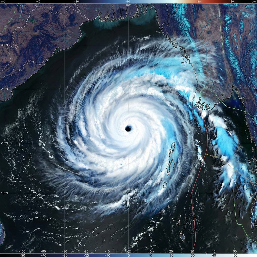
A Storm from the Bay of Bengal
Nargis began as a depression over the southern Bay of Bengal on 27 April 2008. It drifted north, then turned east toward Myanmar, and crossed the coast on 2 May 2008. IMD classified it as an Extremely Severe Cyclonic Storm with sustained winds of 165 km/h and a minimum pressure of 962 hPa. It also affected the Andaman and Nicobar Islands on the way.
The Surge Up the Delta
The wind was strong, but not the strongest in our archive. What made Nargis catastrophic was where it landed. The Irrawaddy Delta is low, flat and densely populated. The cyclone pushed a storm surge about 40 kilometres up the delta, flooding villages and rice fields that lie only a little above sea level.
The Toll
Nargis killed 138,373 people, making it one of the deadliest tropical cyclones ever recorded, and caused about 15.3 billion US dollars in damage. It remains the worst natural disaster in Myanmar's recorded history.
Why So Many Died
- Little time and few shelters. Many people in the delta had no safe, high ground to reach.
- Warnings did not turn into action. Forecasts existed, but the message did not reach many communities or spell out the danger of the surge.
- Slow aid. Relief was delayed because access for international agencies was restricted in the first weeks.
The Lesson for India
Nargis is a warning of what can happen when a strong cyclone meets a low coast without shelters and evacuation plans. India's own coasts, from Odisha to the Sundarbans, share that geography. The difference in results between Nargis and India's recent storms is largely the difference in preparation. See Storm Surge: The Hidden Killer for how a surge works.
The full record is on the Nargis archive page.