IMD vs JTWC: Why Cyclone Wind Speeds Differ
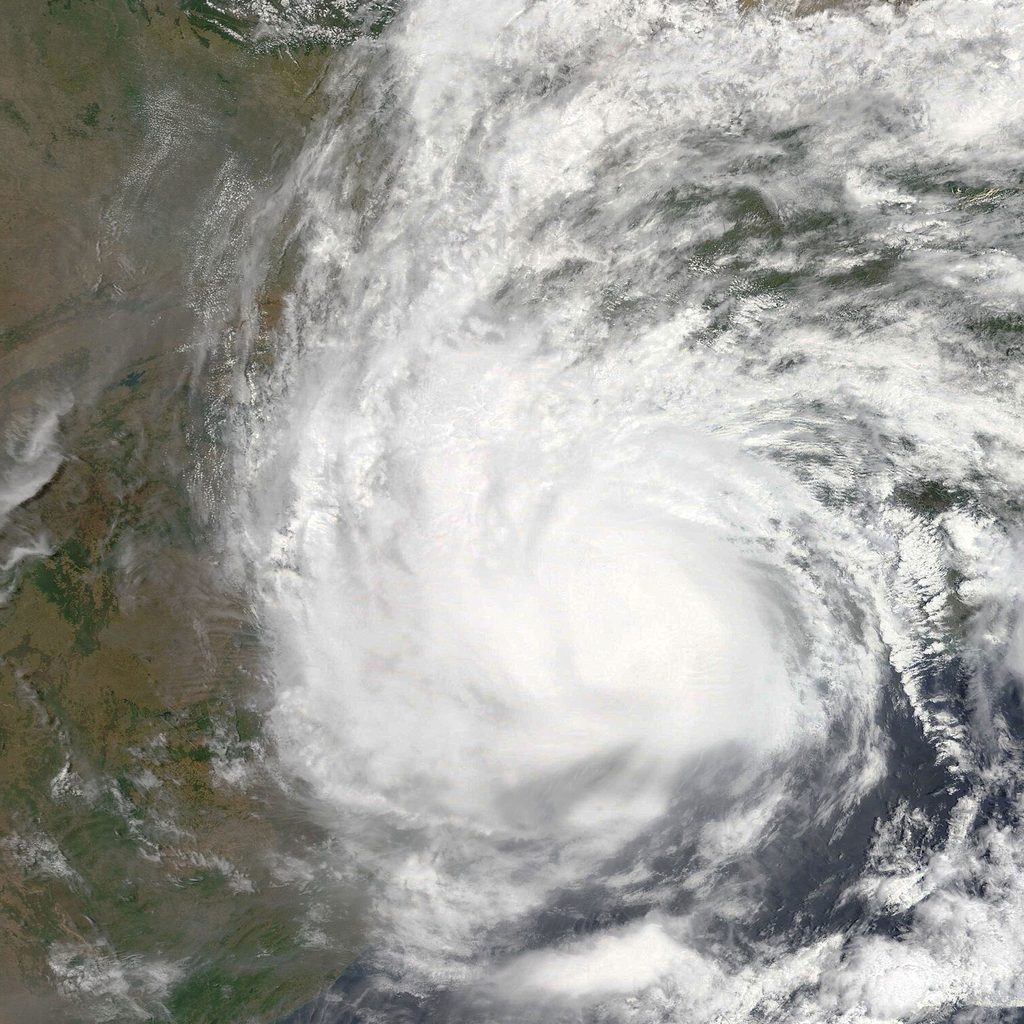
A cyclone is heading for the coast. IMD says its sustained winds are 215 km/h and calls it an Extremely Severe Cyclonic Storm. An international website says 250 km/h and calls it "Category 4". A weather app shows it hitting a completely different state. A WhatsApp forward says it will become a "super cyclone".
Who is right? This confusion comes up with every major storm. Here is why the numbers differ, and which source to follow.
Meet the Agencies
IMD: The Official Centre
The India Meteorological Department (IMD) runs the Regional Specialised Meteorological Centre (RSMC) New Delhi. The World Meteorological Organization (WMO) has designated it as the official tropical cyclone centre for the whole North Indian Ocean: the Bay of Bengal and the Arabian Sea. IMD:
- Issues official cyclone bulletins and warnings for India and advisories for 13 countries in the region
- Names cyclones from the regional list
- Provides the warnings on which all Indian evacuation and safety decisions are based
JTWC: The US Military Centre
The Joint Typhoon Warning Center (JTWC) is run by the US Navy and Air Force and based in Hawaii. It issues tropical cyclone warnings for the Pacific and Indian Oceans to protect US government and military interests. Its warnings are public, so they are widely used by international media, websites and storm enthusiasts.
JTWC gives each storm a number and letter. In this region, A means Arabian Sea and B means Bay of Bengal, so "Tropical Cyclone 02B" is the second system JTWC has numbered in the Bay of Bengal that year. Once IMD names a storm, JTWC uses the same name.
Reason 1: Different Averaging Times
This is the biggest reason for the difference in wind speeds. Wind is never steady: it rises and falls every few seconds. To give one number for a storm's "sustained" wind, agencies average the wind over a period of time:
| Agency | Averaging period |
|---|---|
| IMD (India) | 3 minutes |
| JTWC and US National Hurricane Center | 1 minute |
| Most other WMO centres (for example Japan, Australia) | 10 minutes |
The shorter the averaging period, the more the strongest bursts count, so the higher the number. For the same storm, a 1-minute figure is typically several per cent higher than a 3-minute figure, often around 10%. That is why Amphan appears as 240 km/h on this site, which uses IMD figures, and about 260 km/h on many international sites using JTWC figures. Neither is wrong. They are measuring different things.
Reason 2: Different Judgement of the Same Storm
Over the open sea there are almost no direct wind measurements. Agencies estimate a cyclone's strength mainly from satellite images, using the Dvorak technique, which assigns a "T-number" based on the storm's cloud pattern, eye and structure. Forecasters also use microwave satellites, scatterometers that measure winds over the ocean, ship and buoy reports, and coastal Doppler radars as the storm nears land.
Two expert teams looking at the same images can reach slightly different estimates, especially for storms changing quickly. So even after allowing for averaging time, IMD and JTWC numbers sometimes differ.
Reason 3: Different Category Scales
IMD uses its own scale, from Depression to Super Cyclonic Storm. See How IMD Classifies Cyclones for the full table.
"Category 1-5" comes from the Saffir-Simpson Hurricane Wind Scale used in the United States. India does not use it. When international media call a North Indian Ocean storm "Category 4", they are usually converting JTWC's 1-minute wind speed to the American scale. That makes headlines like "Category 5 super cyclone" sound different from IMD's terms, even when both describe the same storm.
| IMD category (3-min winds) | Roughly comparable to |
|---|---|
| Cyclonic Storm (62-88 km/h) | Tropical storm |
| Severe Cyclonic Storm (89-117 km/h) | Strong tropical storm to Category 1 |
| Very Severe Cyclonic Storm (118-166 km/h) | Category 1 to 3 |
| Extremely Severe Cyclonic Storm (167-221 km/h) | Category 3 to 4 |
| Super Cyclonic Storm (222 km/h and above) | Category 4 to 5 |
Treat these comparisons as rough. The two scales use different averaging times and different boundaries, so they never line up exactly.
Reason 4: Different Forecast Tracks
IMD and JTWC each produce their own forecast track, using different combinations of computer models and their forecasters' judgement. Their tracks and timing can differ, especially 3-5 days ahead. As the storm gets closer, they usually come together.
Weather Model Apps Are Not Forecasts
Popular weather apps and websites often show raw output from global computer models, such as the European ECMWF model or the American GFS model. These are powerful tools, and forecasters at IMD and JTWC study them closely. But:
- A single model run is one possible outcome, not a forecast. The next run, six hours later, can show something very different.
- Models often get the intensity of cyclones wrong, sometimes by a lot.
- Screenshots of a dramatic model run, such as "super cyclone hitting Mumbai in 10 days", are a major source of panic on social media.
Official forecasters combine many models, ensembles, observations and experience into one forecast. That is what you should use.
Which One Should You Follow?
In India, follow IMD. That is not because JTWC is unreliable. It is because:
- IMD is the official WMO-designated centre for this region.
- Your district collector, State Disaster Management Authority, NDRF and the Coast Guard all act on IMD's warnings.
- IMD's warnings are linked to district colour codes, fishermen warnings and port signals that tell you what to do.
- IMD has dense local data, including India's network of coastal Doppler radars, for the final hours before landfall.
JTWC and model maps are useful for understanding the range of possibilities, but they should never replace official warnings.
Key Points to Remember
- IMD uses 3-minute winds, JTWC uses 1-minute winds, so JTWC's numbers are usually higher.
- "Category 1-5" is an American scale. India uses Depression to Super Cyclonic Storm.
- Weather apps often show raw models, not forecasts.
- In India, safety decisions are based on IMD. Follow IMD and your district administration.
Learn more in How to Read a Cyclone Track Map, and follow official updates on our Active Systems page.
All wind speeds on Indian Cyclones use IMD figures unless stated otherwise. We are an independent explainer, not an official warning service.