Cyclone Arnab's Journey: From Bay of Bengal Depression to Landfall Near Yanam
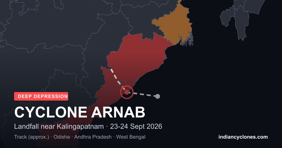
Last updated: evening of 28 October 2026 (IST). Arnab is still an active system over land. Casualty, evacuation and damage figures are provisional and news reports sometimes disagree; we note where they do and will revise this page as official figures come in.
Four Days, From Open Sea to Landfall
Cyclone Arnab (IMD designation BOB/08/2026) took just three days to grow from a Depression far out over the Bay of Bengal into a Very Severe Cyclonic Storm on the Andhra Pradesh coast. It is the first system of the 2026 post-monsoon season to be officially named, after the September Deep Depression that never reached cyclonic storm strength.
The Track, Day by Day
- 25 October, morning: IMD classifies a Depression over the eastcentral and adjoining southeast Bay of Bengal near 15.3°N, 91.2°E, about 440 km north-northwest of Sri Vijaya Puram and 880 km east-southeast of Visakhapatnam. It strengthens into a Deep Depression later that day.
- 26 October: The system becomes a Cyclonic Storm and is named Arnab, the name proposed by Bangladesh. By the night of 26 October it has intensified rapidly into a Very Severe Cyclonic Storm over the westcentral Bay of Bengal.
- 27 October, morning: Arnab lies near 16.0°N, 84.3°E, about 220 km south-southeast of Visakhapatnam and 240 km east-southeast of Kakinada, moving west-northwest at about 20 km/h. IMD issues a Red Warning for the Andhra Pradesh coast and adjoining south Odisha.
- 28 October, about 1:20 am IST: The landfall process begins as the storm's forward wall reaches the coast.
- 28 October, morning: Arnab crosses the Andhra Pradesh and Yanam coasts southwest of Yanam, near 16.45°N, 81.90°E, about 20 km east-northeast of Narsapur, with maximum sustained winds of 125-135 km/h gusting to 150 km/h. By about 8:30 am it has weakened into a Severe Cyclonic Storm, and IMD's mid-morning update confirms the centre is fully over land.
- 28 October, 1:30 pm IST: Centred near 16.8°N, 81.8°E, about 40 km north-northeast of Narsapur and 50 km west-southwest of Kakinada, moving north-northwest at about 7 km/h.
- 28 October, about 11:30 pm IST: Arnab weakens into a Deep Depression over the area where coastal Andhra Pradesh, south Odisha, south Chhattisgarh and northeast Telangana meet, about 60 km south of Malkangiri.
- 29 October, 8:30 am IST: Now a Depression, centred near 19.4°N, 81.9°E over south Chhattisgarh and adjoining south Odisha, about 40 km north-northwest of Jagdalpur and 200 km south of Raipur, moving nearly north at about 18 km/h.
Stronger Than Forecast
When the Depression first formed, IMD's forecast track called for a Very Severe Cyclonic Storm with sustained winds of 115-125 km/h gusting to 140 km/h at landfall. Arnab delivered that and a little more: 125-135 km/h gusting to 150 km/h. The landfall point, close to Yanam, sat squarely within IMD's forecast stretch between Bapatla and Visakhapatnam, and the timing — early on 28 October — matched the forecast closely. The crossing was a slow one, lasting more than six hours from the first contact with the coast to the centre being fully over land.
Rainfall
The heaviest rain fell over north coastal Andhra Pradesh and south Odisha, on the stronger, right-hand side of the storm's track. IMD station totals for the landfall night, from 8:30 am IST on 27 October to 5:30 am IST on 28 October:
- North coastal Andhra Pradesh: Kannuripalem (Anakapalli) 261.5 mm, Vizianagaram (KVBR School) 259.7 mm and Visakhapatnam (16th Bn area) 259.1 mm (these three to 4 am IST), Visakhapatnam 216.9 mm, Kalingapatnam 147.5 mm, Tuni 123.3 mm
- Near the landfall point: Kakinada 118.4 mm, Narsapur 48.6 mm
- South of landfall: Machilipatnam 115.2 mm, Bapatla 15.9 mm, Ongole 0.4 mm
The rain was heaviest well to the north of where Arnab came ashore near Narsapur.
IMD has issued a flash flood warning for 13 Andhra Pradesh districts — Bapatla, Guntur, NTR, Krishna, Eluru, East Godavari, West Godavari, Kakinada, Alluri Sitarama Raju, Visakhapatnam, Anakapalli, Vizianagaram and Parvathipuram Manyam — until 5:30 am IST on 29 October. A red alert is in force for Ganjam, Gajapati, Rayagada, Koraput, Malkangiri and Nabarangpur in Odisha, and heavy rain is forecast over Jharkhand and West Bengal until 30-31 October.
As the weakening storm crawled inland over south Odisha, the rain became extreme. In the 24 hours to 8:30 am IST on 29 October, Patrapur in Ganjam district recorded 546 mm, Sorada (Ganjam) 503 mm, G. Udayagiri (Kandhamal) 462 mm, Mahendragarh (Gajapati) 458 mm, Sanakhemundi (Ganjam) 388 mm and Chikiti (Ganjam) 309 mm. In Srikakulam district of Andhra Pradesh, Ichchapuram recorded 240 mm (24 cm) and Sompeta 220 mm (22 cm).
See every station, state by state, in the rainfall section of the Arnab archive page.
Where Arnab Caused Floods
Arnab's worst flooding did not come from the sea. It came from rivers swollen by the extreme rain that fell as the storm crawled inland over south Odisha. Reports up to the afternoon of 29 October show three main flood zones:
| Area | What happened |
|---|---|
| Gajapati, Odisha | The Mahendratanaya river overflowed into low-lying settlements. Baghasala, Bhinnala and Bapuji Peinth in Goshani block were inundated, and more villages were affected in Goshani and Rayagada blocks. The Gundriguda bridge in Mohana block collapsed and stretches of the Kaipur-Burukhata road were washed away. Mohana recorded 307.6 mm of rain, according to Odisha's State Relief Commissioner. |
| Vamsadhara river, Odisha and Andhra Pradesh | At Kashinagar the river stood at 55.58 m at 7 am on 29 October, almost a metre above the danger mark of 54.60 m. Downstream, a flood warning was issued at the Gotta barrage in Srikakulam district. |
| Ganjam and Kandhamal, Odisha | Extreme rain of 300-550 mm in a day (see above). Traffic on NH-326 was disrupted near Taptapani Ghat and in parts of Ganjam district. Large areas of paddy and vegetable fields were submerged. |
| Godavari delta and Krishna, Andhra Pradesh | Mostly farmland flooding. About 2.24 lakh hectares of crops, nearly all paddy, were inundated or damaged across 14 districts, worst in West Godavari, followed by Konaseema, Kakinada, East Godavari and Krishna. |
| South Chhattisgarh | IMD said a flood-like situation had developed in rivers that rise in south Odisha and flow through Chhattisgarh, as the weakening system brought heavy to very heavy rain to the state. |
More than 43,000 people were moved to safety across eight Odisha districts, and Odisha's Chief Minister said no deaths had been reported in the state in the latest official assessment. Rivers in south Odisha and Chhattisgarh may keep rising for a day or two after the rain stops, so people living along them should follow local warnings. Read After the Storm for how to stay safe around flood water.
Impact on the Ground
- Lives lost: The NDRF reported three deaths in Andhra Pradesh on the afternoon of 28 October, including two electrocutions in Anakapalli district. By 29 October, reports put the toll in Andhra Pradesh at five. The figure is provisional.
- Homes and infrastructure: At least 31 houses were damaged in Andhra Pradesh. Trees and power poles came down across the coastal districts, causing widespread power cuts. In East Godavari, 93 roads were damaged and around 736 trees fell; fire services in Kakinada cleared more than 200 trees.
- Crops: Early reports on 28 October put the area submerged in Andhra Pradesh at around 70,000 hectares, plus 10,500 hectares of horticultural crops. By 29 October the state's estimate had risen to about 2.24 lakh hectares across 14 districts, mostly paddy, affecting nearly 3.45 lakh farmers.
- Power: About 15,000 electricity poles were uprooted across Andhra Pradesh.
- Evacuations: More than 28,000 people were in relief camps across 14 Andhra Pradesh districts, including nearly 9,900 in Kakinada. Reported evacuation figures for Odisha range from about 30,000 to about 1 lakh people. Sixteen NDRF and eleven SDRF teams were deployed.
- Transport: Most flights at Vijayawada and several to Visakhapatnam and Chennai were cancelled on 28 October, and dozens of train services were cancelled or suspended. A sulphur cargo ship ran aground near Antarvedi after an engine failure.
What Happens Next
IMD expects the Depression to keep moving nearly north and weaken into a well-marked low pressure area over north Chhattisgarh and adjoining northwest Odisha around the evening of 29 October. Its moisture will keep feeding heavy rain inland: IMD has an orange alert for heavy to very heavy rain over parts of Odisha, Chhattisgarh, Jharkhand, Bihar and east Madhya Pradesh, and a yellow alert for coastal Andhra Pradesh, West Bengal and Sikkim, with a risk of local flooding and flash floods. Fishermen are advised not to venture into the northwest Bay of Bengal, off the West Bengal coast and the Andaman Sea until 31 October.
IMD is also watching a new low pressure area over the south Andaman Sea, which may become a depression over the southeast Bay of Bengal in about two days. If it strengthens into a Cyclonic Storm, it will take the next name on the list, Murasu.
Follow Arnab
- Live position, track and district warning map: Active Systems
- Arnab's full record: Cyclone Arnab, October 2026
- How it began: A New Bay of Bengal System Is Forming
- Background: How IMD classifies cyclones and storm surge explained
- Official source: RSMC Tropical Cyclones New Delhi / India Meteorological Department (IMD)